All projects

Systems & AI · Interactive map · Open data · Open source

Pulso Verde

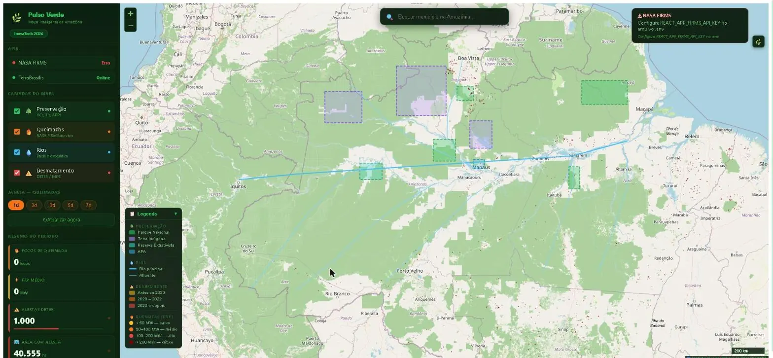
An interactive map of fires and deforestation in the Amazon. It consumes the NASA FIRMS API (CSV with a custom parser) and the TerraBrasilis/INPE WFS with a CQL filter by period. Every call has a timeout with AbortController and an error message translated for the interface.
Industry
Systems & AI
Deliverable
Interactive map · Open data
Status
Open source
Stack
React · Leaflet · Recharts · Open data
Pulso Verde map over the Legal Amazon: polygons of conservation units and Indigenous lands, rivers, DETER deforestation alerts and a side panel with API status and a period summary.
Map with layers and the status of each data source.

Need a custom system?

Tell me the problem you need to solve — that’s where I start.

Get a quote
WhatsApp